Precision Aerial Data. Delivered Ready to Use.
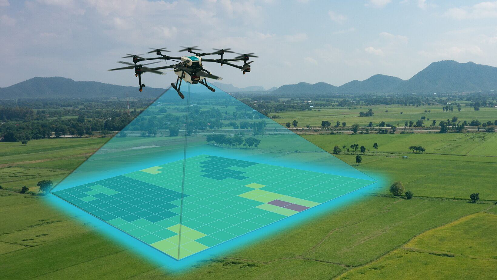
Every service we offer is built on the same foundation: the right platform for the job and the Propeller cloud environment for processing, delivery, and team-wide collaboration. Whether a project calls for fixed-wing efficiency across hundreds of acres or the precision of a close-range multicopter survey, AeroX deploys the equipment best suited to your site conditions and deliverable requirements. From a single topographic survey to a full suite of deliverables supporting a multi-phase project, we bring the data your team needs to move forward with confidence.
Current. Accurate. Measurable.
Our drone mapping services deliver georeferenced orthomosaic maps, photogrammetric models, and spatial datasets that give project teams a complete, measurable picture of their site — at the accuracy level real project work demands.
A drone map from AeroX isn't just a high-resolution aerial image — it's a spatially accurate, measurement-ready dataset. Every pixel is georeferenced to real-world coordinates, meaning your team can take measurements directly from the map, compare it to design drawings, and track site changes across the life of a project. Our Wingtra platform captures imagery at centimeter-level ground sample distance, producing maps with the resolution and accuracy that engineers and surveyors expect.
Delivered through the Propeller cloud platform, your maps are immediately accessible to every member of your project team — from the field superintendent to the project owner — on any device, without specialized software. Schedule repeat flights at project milestones and you build a time-series record of site conditions that supports progress reporting, dispute resolution, and owner acceptance.
Our Services
We specialize in survey grade geospatial data services that give project teams accurate, actionable information they can use from day one. Using the Wingtra fixed-wing drone platform and Propeller processing software, we deliver survey-grade results across large areas — faster than traditional ground survey methods, and with none of the access limitations.

Aerial Surveying
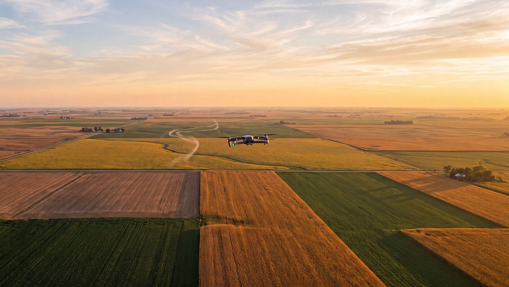
We work with licensed surveyor partners to provide large-area topographic surveys with the accuracy your engineers and project managers can stake to. Our fixed-wing platform covers ground quickly and returns data that meets the requirements of real project work — on time and on budget.

LiDAR Scanning
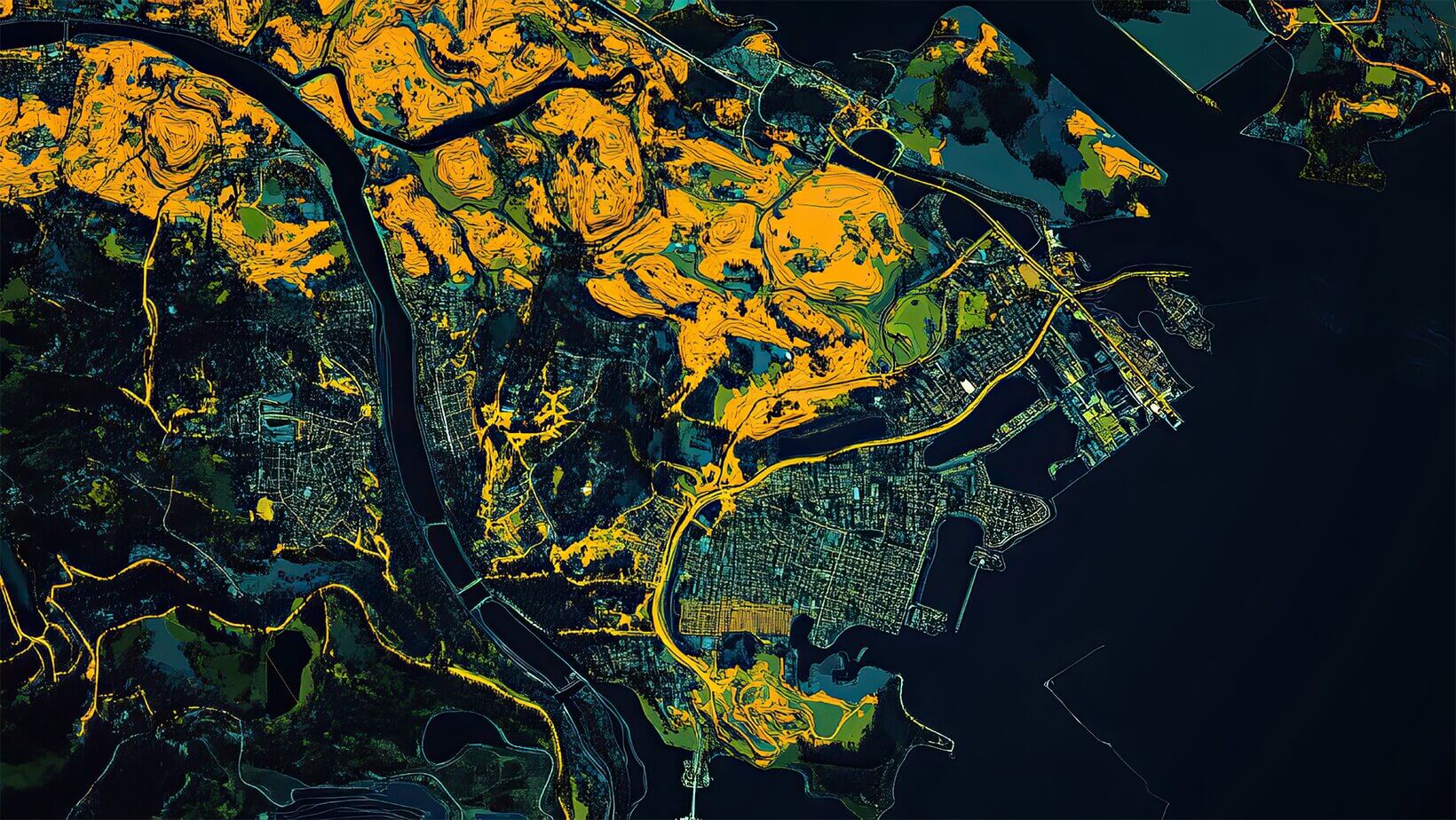
Dense point clouds that cut through canopy and capture terrain detail ground crews can’t reach. Ideal for heavily vegetated sites, corridor mapping, and complex topography.


3D Modeling
Surface models and digital twins that let your team review, measure, and plan before boots hit the ground. Reduce surprises, accelerate decisions, and communicate more clearly with all project stakeholders.


CAD Deliverables
Contours, cut/fill surfaces, and CAD-ready files that drop straight into AutoCAD and Civil 3D — formatted for the way your team actually works.

Volume Reports
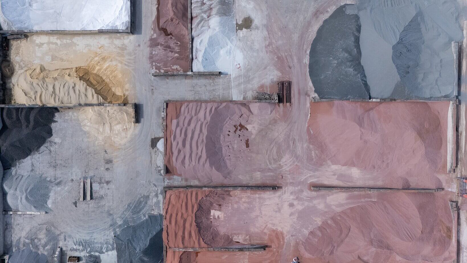
Stockpile and earthwork volumetrics with measurable, defensible accuracy — ready for bid review, progress reporting, or owner submittals.
Who We Serve
We support the project managers, engineers, surveyors, and developers working in environments where the cost of inaccurate data is real. From active construction sites and large land development projects to industrial facilities, right-of-way corridors, and conservation areas, our team adapts to the demands of each project — not the other way around.
Construction
Land Development
Industrial
Municipalities
Right of way
agriculture
wildlife & Conservation
surveyors

engineering
Construction & Earthwork
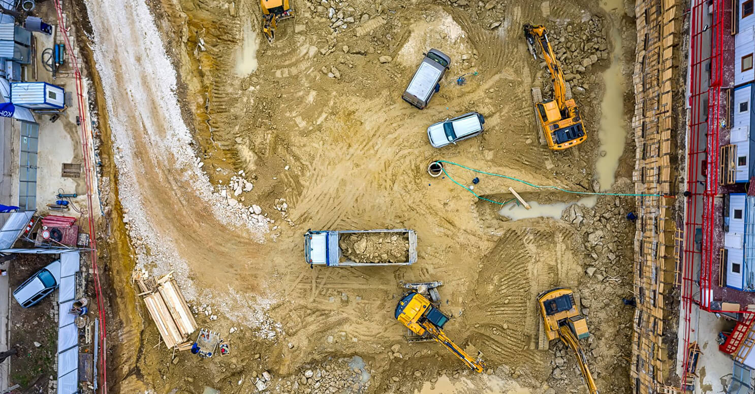
Active construction sites move fast. AeroX keeps pace with progress reporting, cut/fill analysis, and topographic surveys timed to your schedule — not a ground crew's availability. Accurate data means fewer disputes, less rework, and tighter margins.
Land Development
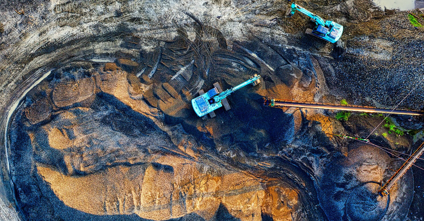
From raw land assessment to final grading, accurate aerial data helps developers, engineers, and surveyors move through every phase with confidence and fewer surprises.

Industrial Facilities
Large industrial footprints present access and scale challenges that ground-based methods struggle to overcome. AeroX delivers comprehensive coverage without interrupting operations.

Infrastructure & Corridors
Pipeline routes, roadways, and utility corridors demand consistent, accurate data across long, linear stretches. AeroX delivers the coverage and accuracy that infrastructure and corridor projects depend on.
Oil & Gas
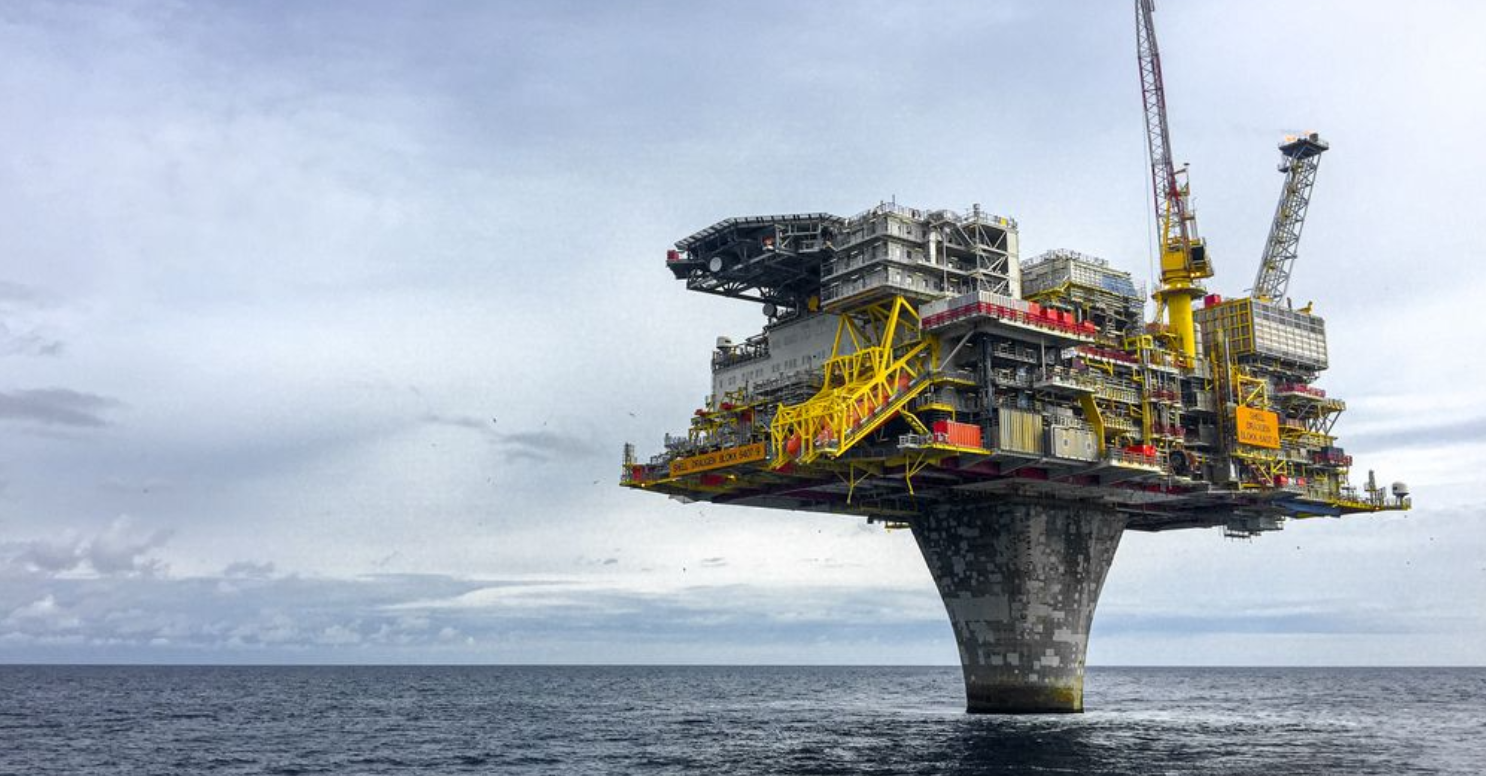
Remote sites, large pad areas, and complex terrain are no obstacle. AeroX provides the aerial coverage and deliverable formats that O&G project teams depend on.

Environmental & Land Management
Canopy coverage and difficult terrain are no barrier to accurate data. LiDAR-equipped missions deliver ground-truth data in areas where access is limited or restricted — supporting conservation, wildlife management, and environmental assessment work.
Let's Talk!
If you have a site to survey, a project in planning, or just want to understand what aerial data can do for your operation, we're ready to help. Contact AeroX Geospatial today to discuss your project.
Get a Quote