About AeroX Geospatial
Guided by Accuracy. Built for the Field.
At AeroX Geospatial, we believe that survey-grade data shouldn't require weeks of ground crew mobilization, weather delays, or compromised coverage. We built this company to bring a better answer to clients in construction, land development, and industrial sectors who need accurate, repeatable, and measurable geospatial data — and need it ready to use.
We serve clients across Louisiana, East Texas, Mississippi, and beyond, delivering high-accuracy aerial surveys, LiDAR point clouds, and CAD-ready deliverables that help project teams make confident decisions from planning through closeout. Whether we're mapping a large land parcel, tracking earthwork progress, or generating 3D terrain models for a complex site, we approach every mission with the same standard: get it right, get it to you on time, and make sure it works with the tools you already use.
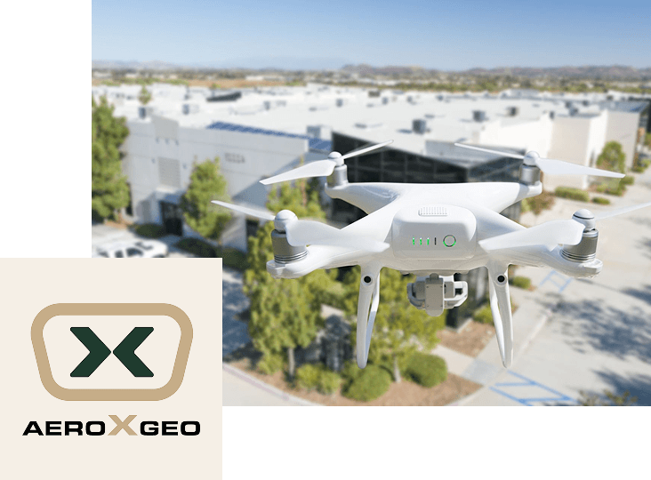
What We Do?
Our Services








Who We Serve

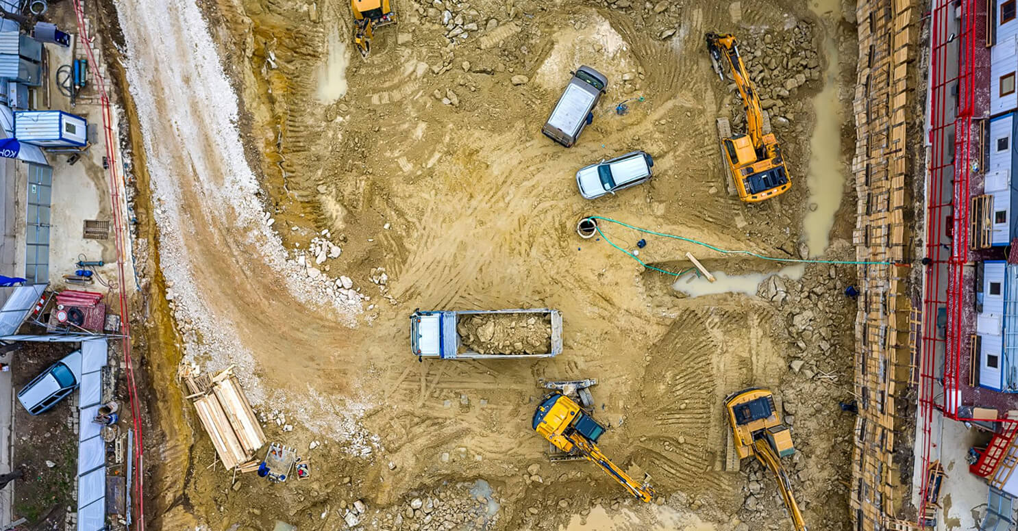
Construction & Earthwork
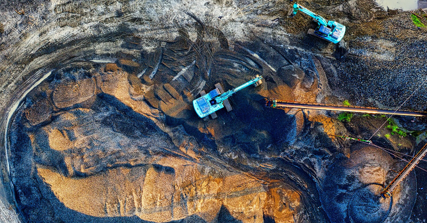
Land Development
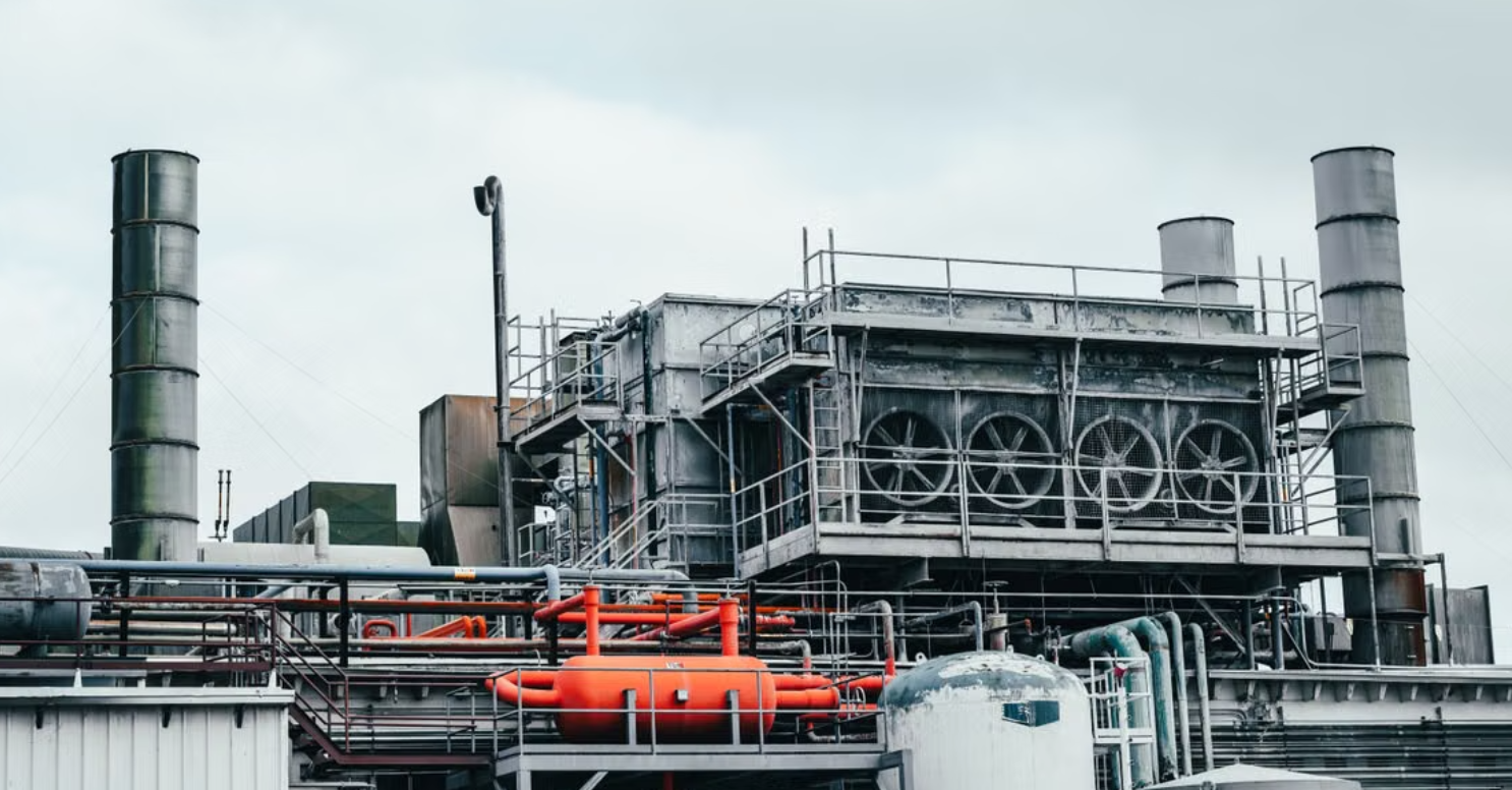
Industrial Facilities
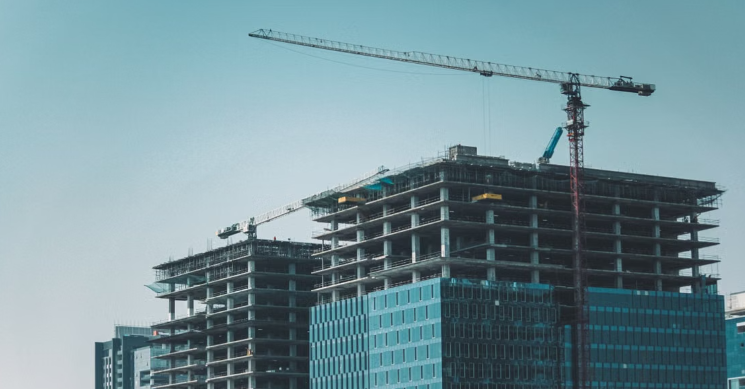
Infrastructure & Corridors
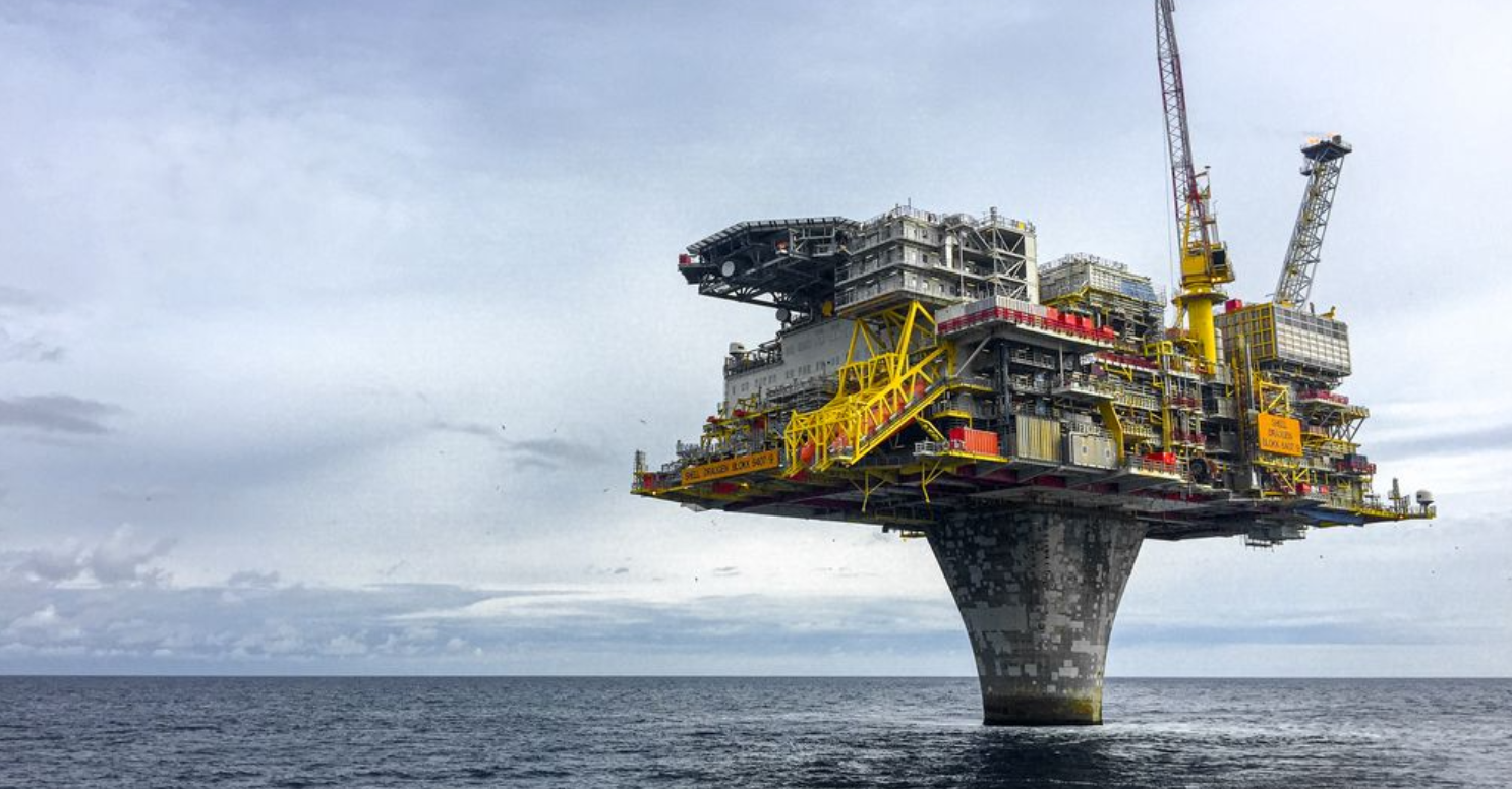
Oil & Gas
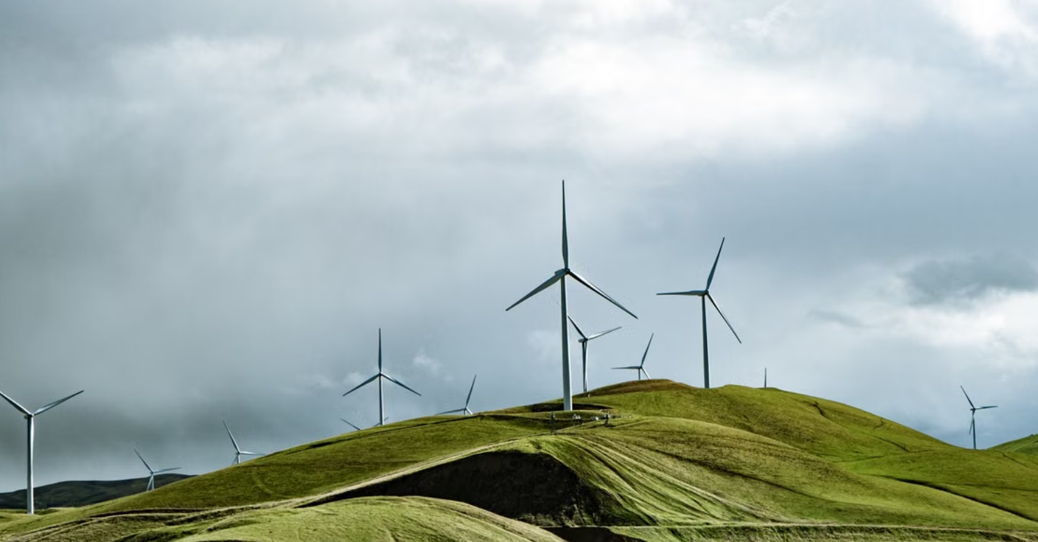
Environmental & Land Management
Why Choose AeroX?


Meet the Team
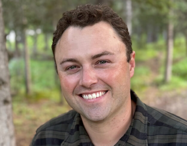
Collin Stagg
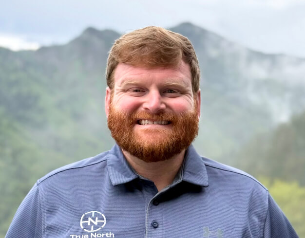
David Hinds
Our Values