Technology
Purpose-Built Tools for Survey-Grade Results.
At AeroX Geospatial, the technology we fly and the software we use aren't afterthoughts — they're the foundation of every accurate, reliable deliverable we produce. We invest in professional-grade platforms because our clients depend on data they can stake to, build from, and take to owners without hesitation.
This page explains what those tools are, what they do, and — more importantly — why they matter to your project.

The Right Platform for Every Job.
Fixed-Wing VTOL — Large-Area Coverage
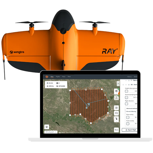
For large-area survey work, AeroX flies the Wingtra — a fixed-wing VTOL (vertical takeoff and landing) drone that combines the coverage efficiency of a fixed-wing aircraft with the launch and recovery convenience of a multicopter. It takes off and lands vertically — no runway, no catapult, no belly landing — and then transitions to fixed-wing flight for the survey mission.
The result is a platform that covers dramatically more ground per flight than a multicopter, without sacrificing accuracy or requiring a prepared landing area. A site that would take a multicopter crew multiple flights and most of a day, the Wingtra surveys in a single flight. A 50-acre site that takes a ground crew four hours takes the Wingtra under an hour — and the data quality doesn't just match ground survey methods, for large-area topographic work it surpasses them in spatial completeness.
Multicopter — Precision and Flexibility
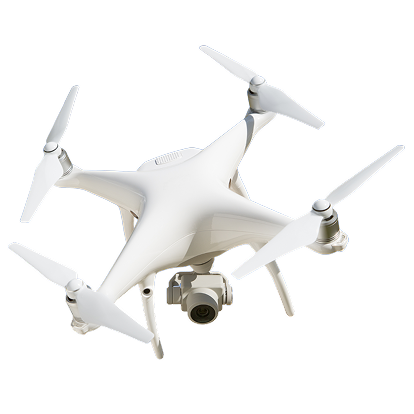
For projects where site constraints, access limitations, or close-range detail work make a multicopter the better choice, AeroX deploys professional-grade quadcopter platforms capable of delivering the same survey-grade accuracy and Propeller-integrated deliverables. Multicopters excel at confined areas, vertical structure inspection, and projects where hover capability and low-altitude detail capture matter more than large-area coverage efficiency.
Our team evaluates every project individually and recommends the platform — or combination of platforms — that best serves your data requirements and project timeline.
WingtraOne GEN II Specifications
Why Platform Selection Matters to Your Project

Speed matched to scope

Proven equipment

Accuracy you can stake to

Built to US standards
One Map. Your Whole Team. Any Device.
Collecting accurate aerial data is only half the job. The other half is making sure that data reaches the people who need it, in a format they can actually use, without requiring specialized software or a lengthy processing pipeline on the client's end.
That's what the Propeller platform does. Propeller is a cloud-based survey data environment where AeroX processes, hosts, and delivers every project dataset — regardless of which platform collected it. Once your data is in Propeller, every stakeholder on your project — from the field superintendent to the project owner — can access it from any browser, on any device, without installing anything.
What Propeller Delivers for Your Team


A Connected Workflow From Flight to Deliverable.
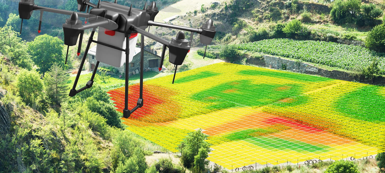
Every platform in our fleet feeds into the same Propeller-powered processing and delivery pipeline. From flight planning through final deliverable — data capture, PPK processing, photogrammetry, quality control, platform delivery, and export — the entire workflow runs through a single connected system regardless of which aircraft collected the data.
For you, that means less time waiting on data, fewer file format conversions, and a clear, auditable chain from the flight to the deliverable. Every dataset we deliver is traceable back to the flight that produced it, with accuracy documentation, coordinate system information, and processing metadata included.
Why Our Technology Stack Matters to Your Bottom Line
The tools AeroX uses are chosen for one reason: they produce the most accurate, most accessible, and most useful data for the professionals who depend on it. Clients who have switched from traditional ground survey methods consistently report the same outcomes — faster data turnaround, more frequent surveys, better stakeholder communication, and fewer disputes driven by conflicting or outdated site information.
When your project team is working from accurate, current, shared data — and when that data is accessible to everyone who needs it without a phone call to the survey department — projects run more smoothly. That's not a technology claim. That's what our clients experience.